Recent Posts

Pages: [1] 2 3 ... 10
1
Updates to Highway Data / NC: NC 268 TRUCK (Elkin)
« Last post by Markkos1992 on Today at 12:26:35 pm »
So this sign where NC 268 BUS WB intersects Standard St has been replaced with the following:  (https://www.facebook.com/photo/?fbid=10220259138749140&set=a.10220259305433307)


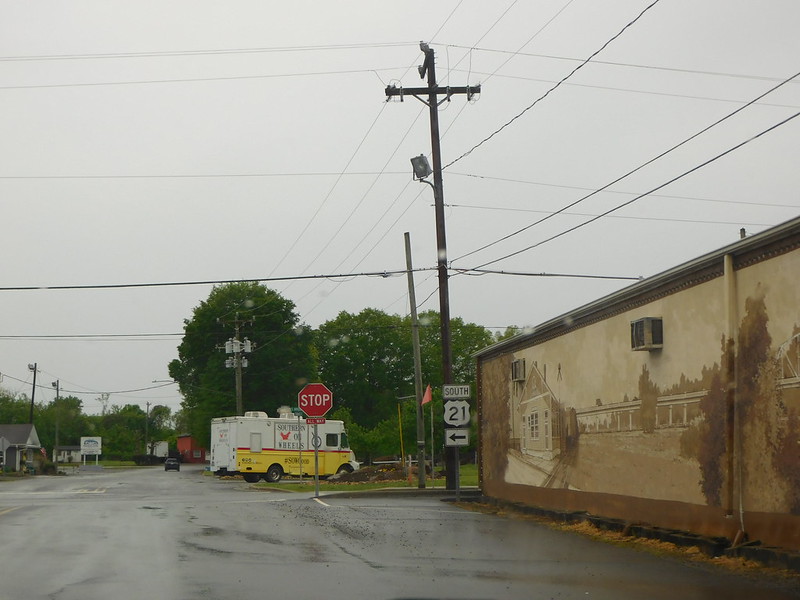
It seems to just be a route for NC 268 BUS WB to US 21 BUS SB based on the sign on Standard St at Bridge St. (https://www.facebook.com/photo/?fbid=10220259139949170&set=a.10220259305433307)

2
Updates to Highway Data / Re: SD: truncate SD377?
« Last post by the_spui_ninja on Yesterday at 09:41:36 am »
FWIW, the next day in Fort Pierre, I saw an End sign for SD 1806 at the US 14/SD 34 junction. Then a few blocks east, the sign assembly has SD 1806 continuing south onto US 83. Maybe SDDOT doesn't take END signs as seriously as we do in other jurisdictions?

So leaving SD 377 alone would be defensible, in the absence of other data like official route definitions, and considering that SD 240 is signed within Badlands National Park.

Route log (https://dot.sd.gov/media/documents/Pierre_Region_Highway_Log.pdf, page 164 of the PDF) has 377 going all the way to 240, plus every single official map of SD that's at that level of detail includes the 0.7 mi park section as 377.

The Fort Pierre "END" signs have always been janky as far back as I can remember (see the south junction of 1806 and 83 as well). Part of the problem is that concurrencies aren't in the official logs (like Colorado) but they are signed (unlike Colorado). There's enough signage for 1806 in Fort Pierre to keep the link along 83 and 14/34 in my opinion.

Hope you didn't get too wet in our neck of the woods haha!
3
Updates to Highway Data / Re: SD: truncate SD377?
« Last post by oscar on Yesterday at 08:36:17 am »
FWIW, the next day in Fort Pierre, I saw an End sign for SD 1806 at the US 14/SD 34 junction. Then a few blocks east, the sign assembly has SD 1806 continuing south onto US 83. Maybe SDDOT doesn't take END signs as seriously as we do in other jurisdictions?

So leaving SD 377 alone would be defensible, in the absence of other data like official route definitions, and considering that SD 240 is signed within Badlands National Park.
4
Will craft the files tonight.  However, will hold off on submitting till I have some proof that 686A is actually signed.  I assume it will be, but want to play it safe.

EDIT: Well, FL-686A is CONFIRMED to be signed when the route opens.  TY GSV!

SR 686A signage was first posted in 2020: https://www.aaroads.com/guides/fl-686a/
Drove SR 686A and SR 690 in both directions yesterday. There are no reassurance markers, but the mile markers reference each route.

There was also an erroneous SR 686 Toll shield posted on SR 688/Ulmerton Road east at least three years ago. Not sure if it is still there, as I didn't check yesterday.
5
Updates to Highway Data / Re: SD: truncate SD377?
« Last post by rickmastfan67 on April 27, 2024, 08:06:17 am »
However, GMSV shows, and I saw, an End SD 377 sign at the southern park boundary.

All the historical GSV shows said 'END' shield there as far back as Oct '08.
7
Updates to Highway Data / SD: truncate SD377?
« Last post by oscar on April 27, 2024, 02:12:32 am »
I traveled part of SD 44 yesterday, south of the Badlands National Park boundary. I turned north on SD 377, to get back to I-90 via SD 240.

TM has SD 377's south end at SD 44 (fine), and its north end at SD 240. However, GMSV shows, and I saw, an End SD 377 sign at the southern park boundary. Some much older 2013 GMSV imagery has SD 377 signage within the park, at the junction with SD 240. I didn't look back at that junction for whether there is still SD 377 signage there.
8
In-progress Highway Systems & Work / Re: usatr: United States select tourist routes
« Last post by Duke87 on April 25, 2024, 09:02:32 pm »
Not exactly trying to drop a new bomb in here, but what about adding the 49-mile drive in SF? https://en.wikipedia.org/wiki/49-Mile_Scenic_Drive

This is exactly the type of thing I absolutely do not want this system to scope creep into including. Random insignificant local nonsense that happens to have some signs, as opposed to the major multi-state spanning stuff like Great River Road that was the impetus for the system's creation.
9
Solved Highway data updates / Re: GRC: Extension of A3
« Last post by michih on April 25, 2024, 03:27:39 pm »
https://github.com/TravelMapping/HighwayData/pull/7359

It seems that no E route is on currency yet albeit the project is also called "E65". I spot a sign on the video with an "E " but w/o number :D
10
US 21: S-27-98>-GoldHillRd

SC 5:  SC75Trk_E technically should be SC75Trk_N IMO.

SC 121:  I am tempted to recommend SC322 instead of US21/322.

Pages: [1] 2 3 ... 10