Recent Posts

Pages: [1] 2 3 ... 10
2
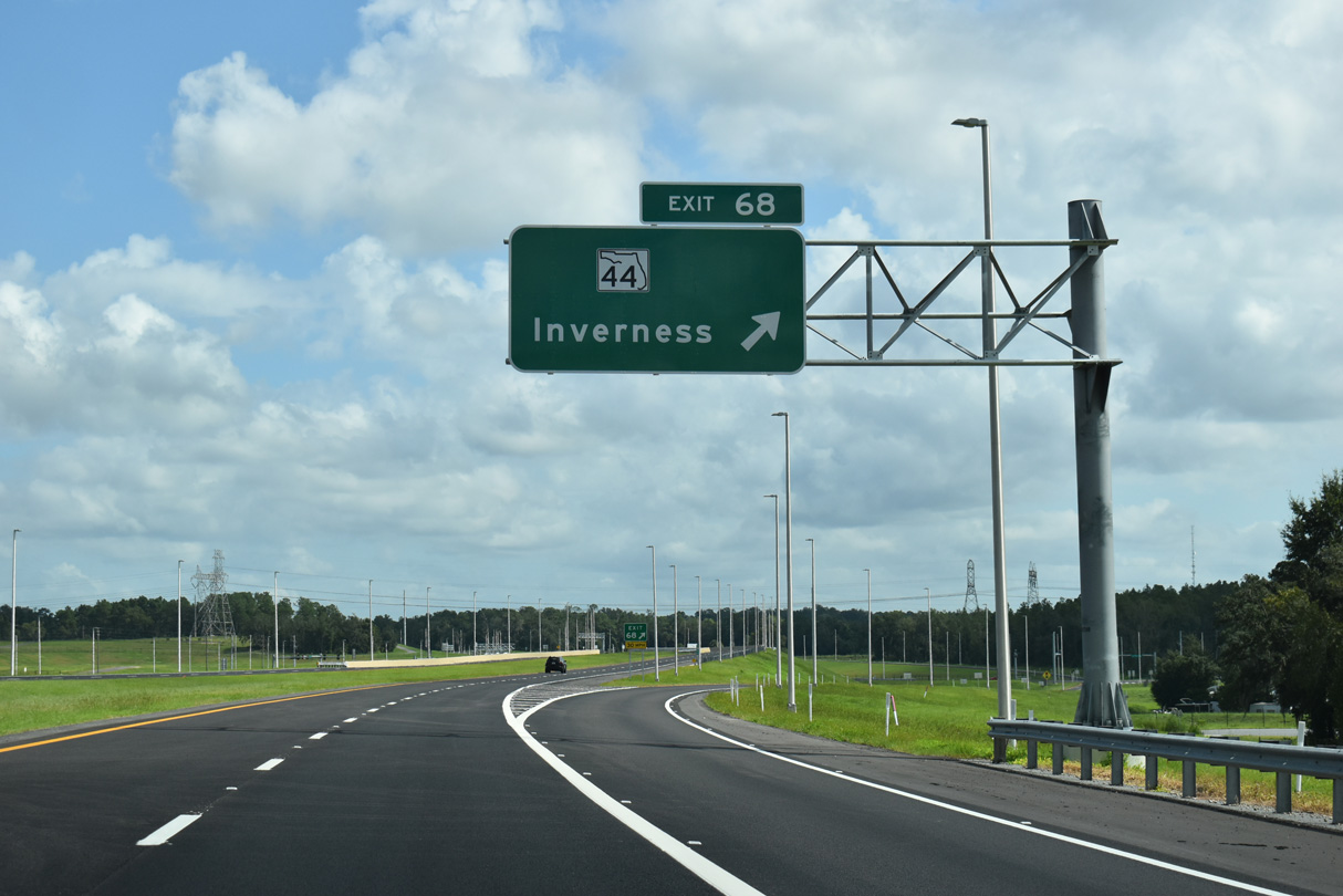
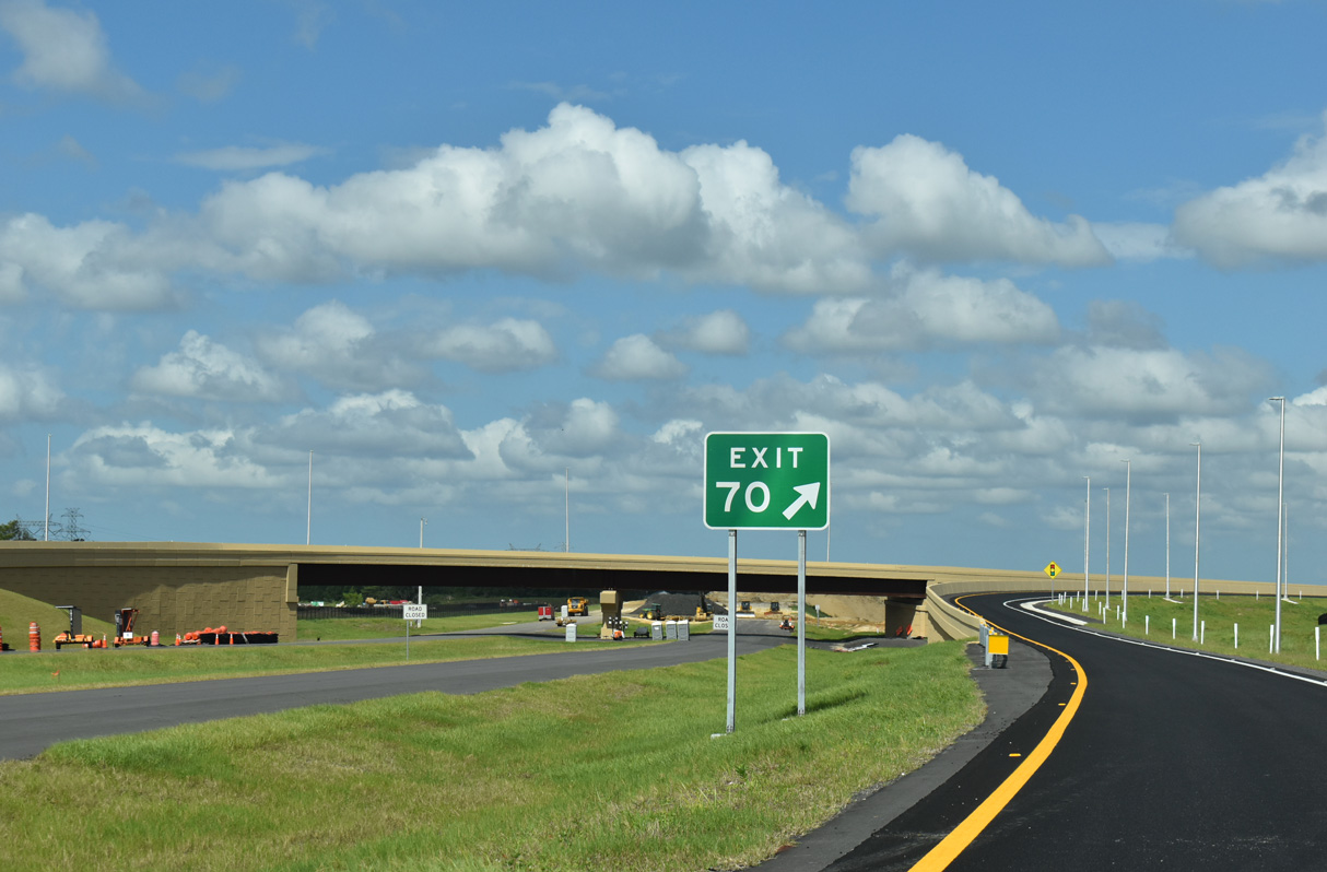
With Andy in town, we checked out the Suncoast Parkway extension on Saturday.

SR 44 is Exit 68:


CR 486 is Exit 70:

3
General Web Design Discussion / Re: Clinched Routes Highway Shields
« Last post by Duke87 on Yesterday at 09:03:28 pm »
-usanht: Added shields and code. Went logoless since it appears that the logos (or at least some of them) are copyright-protected by the NPS.

It being copyright protected shouldn't deter us with this any more than it does with other protected IP used on shields, for the same reason: we have a pretty solid fair use rationale here.

The logo is subject to copyright because NPS doesn't want people selling T-shirts and other memoribilia with it without giving them a cut. They're not going to be bothered by or even have much of a case against non-commercial use in an open source project in direct reference to the road the shield identifies.

Can always click that link to contact them and ask permission if you're really concerned though.
4
fragesm57 - Metz Métropole Routes Métropolitaines will be in preview with the next site update. It was split off from fragesd57 system. It has more than 60 routes for more than 160 miles. All GES systems are finally drafted now :)
5
This might be a GO for drafting the system

No :(
First, M1 in Saint-Julien-lès-Metz was signed in September 2024. OSM + wikimetz indicated that there is a M1. D2 in Saint-Julien-lès-Metz is still indicates as D2 on OSM. D2 is not mentioned on wikimetz. M3 in Saint-Julien-lès-Metz is indicated as M3 on OSM but also not mentioned on wikimetz. August 2023 GSV does still indicate D2 and D3. All examples are in the same community and should thus all be M or D.

M2 and M3 are signed according to June 2025 GSV.

Second, Woippy belongs to the metropolis but OSM changes from M to D routes at the Metz city - Woippy community boundaries.

A first M51 sign appeared on June 2025 GSV.

M signs in the very south of the metropolis on April 2025 GSV.

That's the GO for splitting off the M route system :) I'll simply go with the boundaries of the metropolis
6
Updates to Highway Data / NC: US 158 Weldon Bypass Opens
« Last post by mapmikey on September 13, 2025, 08:29:56 pm »
Placeholder…
7
Solved Highway data updates / Re: FRA-ARA: N102 Le Teil bypass
« Last post by michih on September 13, 2025, 12:56:42 pm »
N102 is signed via the bypass according to 2025 GSV. The through route is unnumbered.
https://github.com/TravelMapping/HighwayData/pull/8598
8
Solved Highway data updates / Re: NOR: E39 motorway segment opened
« Last post by michih on September 13, 2025, 12:55:59 pm »
I moved E39 onto the new motorway bypass: https://github.com/TravelMapping/HighwayData/pull/8598
I didn't find a new numbering for the old route. Thus, it's no longer in HB.
9
Updates to Highway Data / Re: SWE: E22 Fjälkinge - Gualöv
« Last post by michih on September 13, 2025, 12:54:49 pm »
E22: M1662 is closed (Google Maps aerial shows it under construction) and maybe M2080 is too

M1662 removed: https://github.com/TravelMapping/HighwayData/pull/8598
10
Solved Highway data updates / Re: FRA-GES: D1059-6ae Châtenois bypass opened
« Last post by michih on September 13, 2025, 12:54:27 pm »
OSM does now indicate D1059 for the bypass and D559 for the through route.

https://github.com/TravelMapping/HighwayData/pull/8598
Pages: [1] 2 3 ... 10