Checking sources today:
2004 Giles County Map (latest available) shows US 460 Bus heading to the trumpet; shows the sliver of Thomas Dr between VA 100 and US 460 explicitly as SR 640.
Traffic logs continuously back to 1995 also show US 460 Bus heading to the trumpet, showing the same mileage increments as the 2004 county map. Older traffic logs are not organized in a way that I can tell.
Haven't been over there recently but 2015 GMSV shows signage on 460 EB that indicates VA 100 south follows mainline 460 to the trumpet, which I know is not true. Signage is atrocious in its contradictions over there.
Aug 1981 CTB (pg. 15
http://www.ctb.virginia.gov/meetings/minutes_pdf/CTB-08-1981-01.pdf) puts the bypass into the state highway system and says US 460 Business is on the old route between the endpoints which are 3.8 miles and support 460 Business following VA 100 to Thomas Rd. I have not found any citation moving US 460 Business.
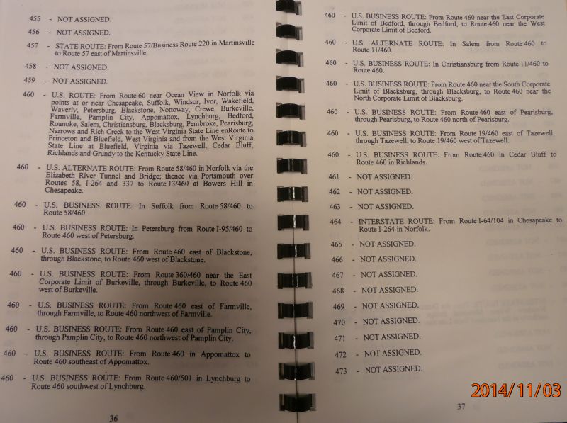
The 1999-2001-2003 Route logs show it ending at US 460
north of Pearisburg.

My conclusion is that it runs to the trumpet given that 3 of 4 official sources describe it that way.
I vaguely recall some uncertainty likely based on the field posting (I had no 2004 county map at the time) but VHP has shown it running to the trumpet since the 460 Business page was written in 2009.